

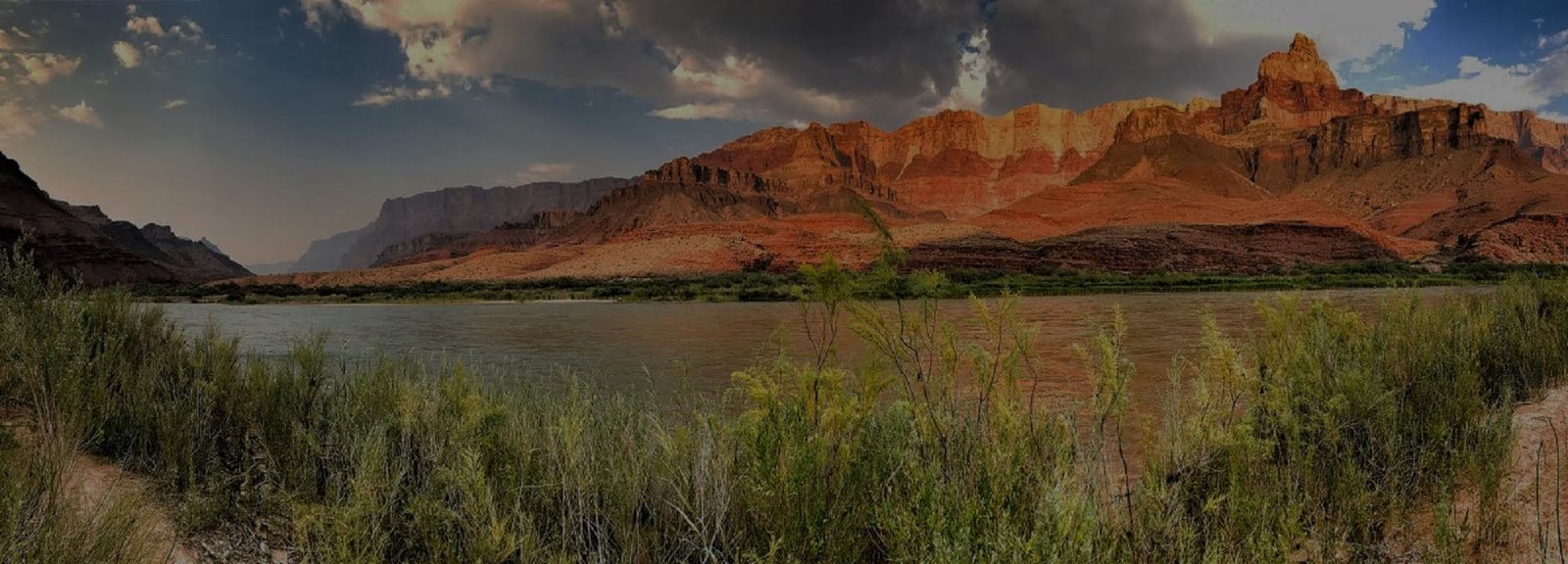
Find Your Way Into the Canyon
Inner-canyon trails are not simply extensions of rim sightseeing. Each route has its own trailhead logistics, water situation, exposure, elevation profile and permit considerations. Start with the main corridor trails, then look at the more demanding historic routes only if they fit your experience and goals.
VERIFY NORTH KAIBAB & PHANTOM RANCH STATUS
Current NPS hiking guidance lists Bright Angel Trail open from the South Rim to River Resthouse, Plateau Point Trail open to Plateau Point, South Kaibab Trail open only to Tip-Off, and the Tonto Trail open between Tip-Off and Havasupai Gardens. The entire North Kaibab Trail, Phantom Ranch, Black Bridge and Silver Bridge remain closed. Check the live Key Hiking Messages and current alerts immediately before choosing any through-canyon route or river crossing.
Start With the Three Primary Routes
Bright Angel, South Kaibab and North Kaibab form the principal maintained corridor system through the canyon under normal conditions. Current access is not identical across those routes, so verify the live NPS hiking messages before assuming the full corridor is connected for your itinerary. South Rim hikers should also confirm water, bridge and construction conditions before descending.
Bright Angel Trail
The best-known South Rim corridor trail descends from Grand Canyon Village and offers the canyon's most developed trail infrastructure. Water availability is seasonal and must still be checked before hiking.
South Kaibab Trail
A steeper, more exposed route with broad views and no reliable water along the trail. Its open ridgeline makes weather, sun and turnaround planning especially important.
North Kaibab Trail
The North Kaibab normally connects the North Rim with the inner-canyon corridor system, but the entire trail is currently closed. Check live NPS hiking messages before planning any North Rim descent or rim-to-rim route.
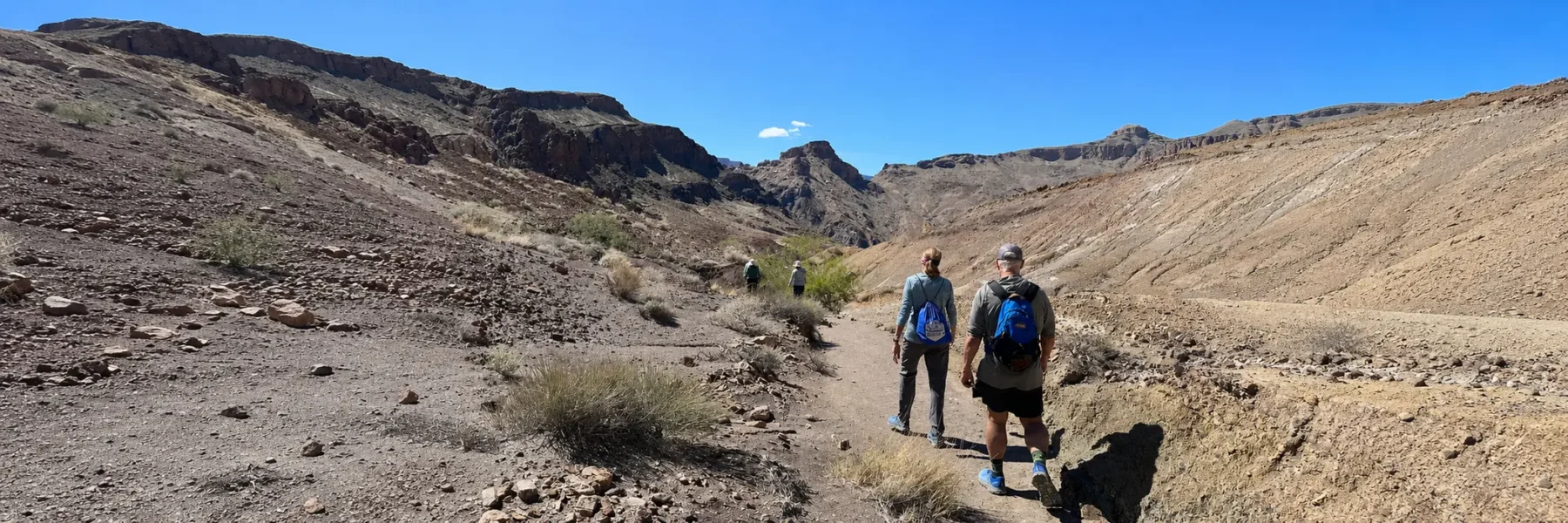
Choose Remote Routes Deliberately
Hermit, Grandview, New Hance and Tanner lead into less-developed parts of the canyon. Trail conditions, route finding, water, exposure and rescue access can be more consequential here. These are not simply quieter substitutes for Bright Angel or South Kaibab.
Hermit Trail
A rugged historic trail serving Hermit Basin and the western inner canyon. It offers a very different experience from the main corridor system and requires more self-reliant planning.
Grandview Trail
A steep historic route descending from Grandview Point toward Horseshoe Mesa, with rougher footing and less infrastructure than the main corridor trails.
New Hance Trail
A demanding unmaintained eastern route for experienced canyon travelers. Water, navigation, exposure and the condition of the route deserve careful attention before committing.
Tanner Trail
A long, exposed route from Lipan Point toward the Colorado River near Tanner Rapids. It is best approached as a serious inner-canyon route rather than a casual extension of rim sightseeing.
Compare the Variables That Matter
Distance alone is a poor way to compare Grand Canyon trails. Look at trailhead access, elevation change, water, shade, exposure, seasonal conditions, permits and transportation before choosing a route.