

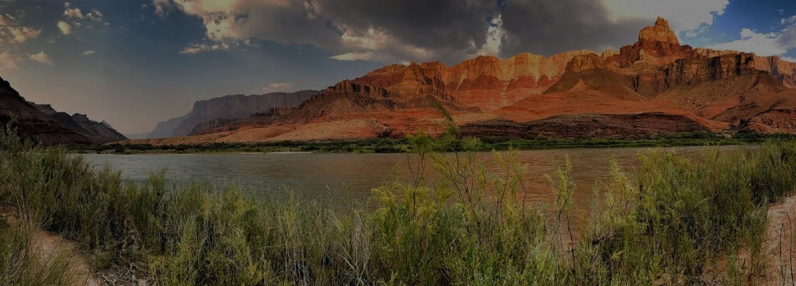
South Kaibab Trail
South Kaibab Trail follows an exposed ridge from the South Rim into the inner canyon, delivering expansive views with very little shade. It is visually dramatic and logistically demanding.
VERIFY PHANTOM RANCH & RIVER-CORRIDOR STATUS BEFORE CONTINUING
Current NPS hiking guidance lists South Kaibab Trail open only to Tip-Off. South Kaibab below Tip-Off, Black Bridge, Silver Bridge, Phantom Ranch and Bright Angel Campground remain closed. Do not plan a river crossing, Phantom Ranch connection or through-canyon itinerary from South Kaibab until the live NPS Key Hiking Messages show those segments open again. Recheck immediately before the hike.
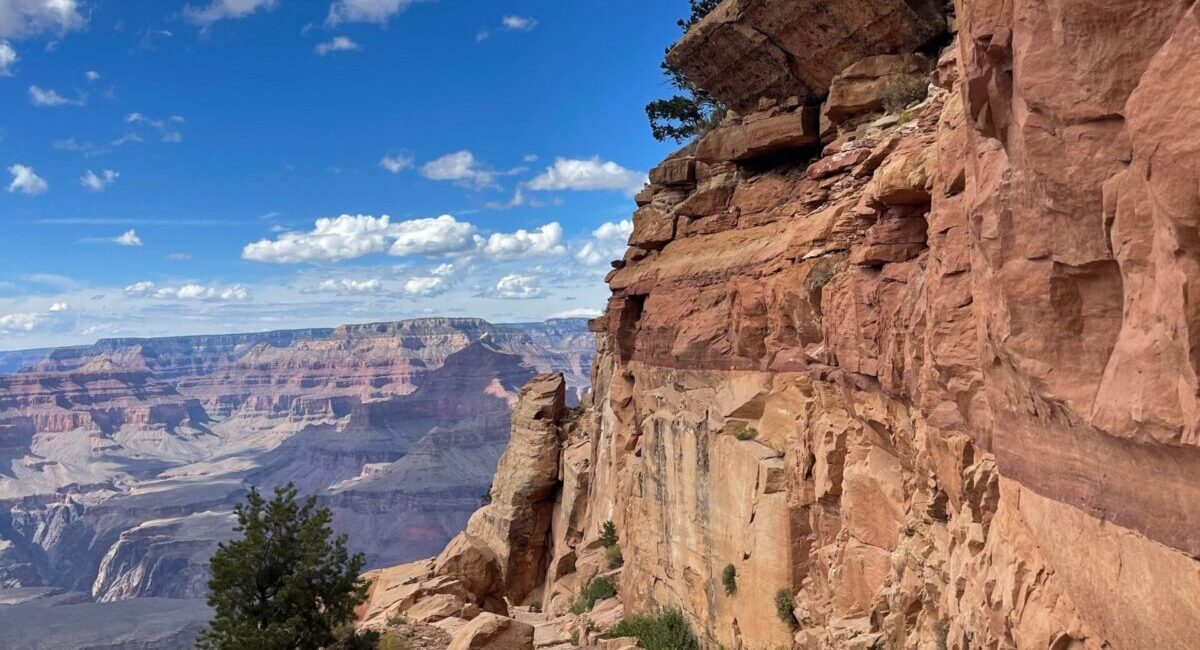
Open views
The ridge alignment creates broad canyon perspectives from early in the descent, making even shorter hikes scenic.
No reliable trail water
There is no water along the trail itself. Hikers must carry what they need and account for heat, exposure and the return climb.
Use the shuttle system
Ordinary private-vehicle access is not the normal way to reach the trailhead. Build park shuttle transportation into the hiking plan.
A Route Built on the Ridgeline
South Kaibab does not hide inside a side canyon. It stays remarkably exposed to the larger landscape, which produces extraordinary views and very little protection from sun, wind and weather. The same design choice that makes the trail photogenic also raises the planning stakes.
A Deliberately Different Trail
The modern South Kaibab route was constructed in the 1920s as Grand Canyon access was shifting from privately controlled trails toward a broader park trail system. Its ridgeline alignment was chosen for directness and sweeping views rather than shade or water.
Views Arrive Before Relief
The trail rewards hikers quickly with open canyon scenery, but there is little shade and no water along the route. In hot weather, the exposed ascent can be far more punishing than the same mileage would suggest on a map.
Down and Up Are Not Equivalent
For full corridor itineraries, NPS commonly recommends descending South Kaibab rather than climbing it and using Bright Angel for the ascent when conditions and closures allow. The reason is not scenery. It is the difference in shade, water opportunities and the character of the climb.
Turn Around While the Trail Still Feels Easy
The downhill miles arrive quickly. The same distance must then be climbed in warmer conditions and with more fatigue. Choose a turnaround point before starting, carry the water needed for the full outing, and keep enough time and energy in reserve for the ascent.
Plan Below-Rim Travel
Compare South Kaibab with Bright Angel and the other major inner-canyon routes before choosing a day hike or backpacking itinerary.
Check Current Trail & Water Status
This page is planning context, not a live trail-status feed. Trail access, bridge status, heat guidance and construction conditions can change after publication. Review current park information immediately before a below-rim hike.