

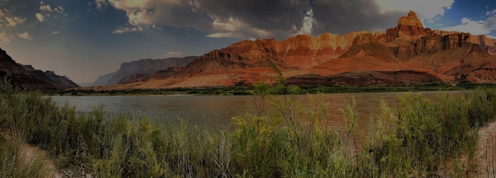
Bright Angel Trail
Bright Angel Trail is a primary route from Grand Canyon Village into the inner canyon. Its convenient access and developed corridor can make the descent feel approachable, but the climb back to the rim remains a serious physical undertaking.
VERIFY PHANTOM RANCH & RIVER-CORRIDOR STATUS BEFORE DESCENDING
Current NPS hiking guidance lists Bright Angel Trail open from the South Rim to Havasupai Gardens and the Tonto Trail junction. River Trail east of River Resthouse, Black Bridge, Silver Bridge, Phantom Ranch and Bright Angel Campground remain closed. Check the live Key Hiking Messages immediately before descending, especially if your plan depends on a river crossing, Phantom Ranch or a through-canyon connection.
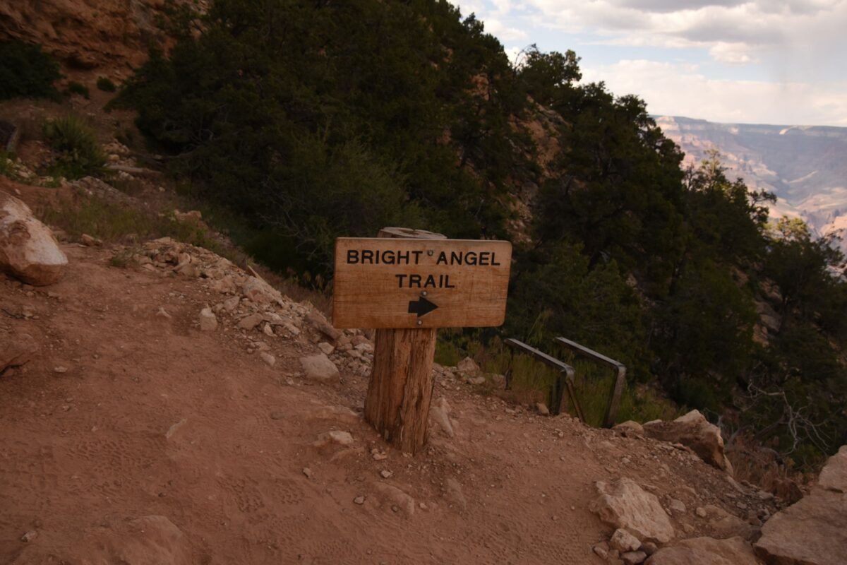
Route character
The trail descends through a long series of switchbacks and rest areas toward the inner canyon. Distance, elevation loss and sun exposure accumulate quickly.
Water is conditional
Seasonal water is subject to pipeline breaks and maintenance. Never rely on an inner-canyon faucet without checking current status first.
Plan the climb first
Choose a turnaround point based on the return ascent, heat and available daylight—not on how easy the downhill miles feel.
Convenience Does Not Make It Easy
Bright Angel begins beside Grand Canyon Village and descends on a well-established corridor. That makes the route easier to understand logistically than many backcountry trails, but it can also encourage hikers to descend farther than they intended before the real work—the climb back to the rim—begins.
The Scale Builds Quietly
The trail reaches the Colorado River after roughly 7.8 miles and about 4,460 feet of elevation loss. A short section can be a reasonable day hike, but the full rim-to-river distance is not a casual out-and-back objective.
Shade Helps—Until Winter
Bright Angel offers more shade than South Kaibab, which can be valuable in warm weather. The upper trail is also largely north-facing, so packed snow and ice can linger through winter and early spring when sunnier routes improve sooner.
Water and Rest Stops Still Require Verification
Rest areas and seasonal water make Bright Angel feel developed, but pipeline breaks and maintenance can change what is available. Carry enough water to remain safe if a faucet is off and check the current park status before descending.
How Much Climb Do You Want at the End?
Pick the turnaround point by the ascent you are prepared to finish, not by the destination name that sounds most satisfying. Heat, winter ice, crowding and the group's pace can all change the answer.
Compare Inner Trails
Review Bright Angel alongside South Kaibab and other routes before choosing a day hike or backpacking itinerary.
Check Current Trail & Water Status
This page is planning context, not a live trail-status feed. Trail access, seasonal water, heat guidance, bridge status and construction conditions can change quickly. Review the current NPS Key Hiking Messages and our Current Conditions page immediately before any below-rim hike.