

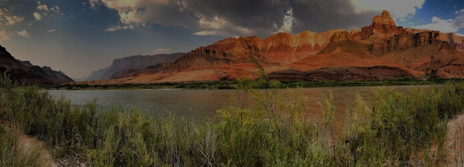
Colorado River
The Colorado River is its own travel system, with launch points, exchanges, take-outs and trip styles that do not follow the same geography as rim roads. Use these pages to understand how a river itinerary connects.
VERIFY GRAND CANYON RIVER OPERATIONS BEFORE TRAVEL
Current NPS hiking guidance lists Black Bridge and Silver Bridge closed, along with Phantom Ranch and the east River Trail between River Resthouse and the South Kaibab Trail junction. South Kaibab is open only to Tip-Off and Bright Angel is open to Havasupai Gardens and the Tonto Trail junction. River parties and hiking exchanges should check current NPS information and trip-specific outfitter direction before relying on a foot crossing or Phantom Ranch connection.
A River Trip Is Not a Rim Add-On
Multi-day rafting trips are vacations in their own right. Shorter river experiences use different access points and logistics. Decide which kind of river trip you mean before choosing hotels, transportation or a rim itinerary.
Trip Length Changes Everything
Launch point, craft type, hiking exchanges, take-out, return transportation and season all affect the real commitment. In the current post-flood period, confirmed operational status comes before every normal itinerary comparison.
Compare Short River Trips Separately
If you want a few hours or a single day on the water rather than a multi-day Grand Canyon whitewater trip, use the short-river guide. These experiences use different launch areas, river conditions and transportation, so the current Grand Canyon river closure should not automatically be assumed to describe every Colorado River product outside the affected corridor.
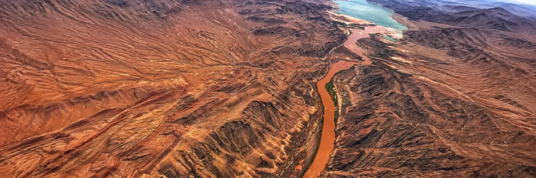
Lees Ferry
The principal upstream launch area for trips entering Grand Canyon by river. Because post-flood operations are changing quickly, confirm the exact launch and trip status with your outfitter and current NPS river information rather than assuming normal operations.
River Trips
Compare commercial, private, motorized, oar-powered and trip-length options, but put current operator and NPS operational status ahead of normal itinerary comparisons during the post-flood period.
Hiking Exchanges
Some river itineraries begin or end with a hike into or out of the canyon, so trail access and transfer timing become part of the river plan. Confirm the exact exchange point, trail, bridge and river operation with your outfitter and live NPS information before planning any trail-to-river exchange.
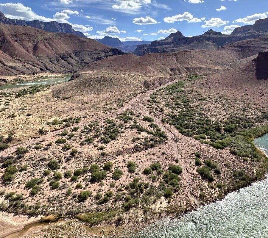
Diamond Creek
A Hualapai-managed road access point commonly used for exchanges and river take-outs. Verify current river operations before building a trip around this access point.
Pearce Ferry
A downstream take-out area used by many lower-canyon river itineraries. Current river closure status can affect normal trip logistics upstream.