
Grandview Trail
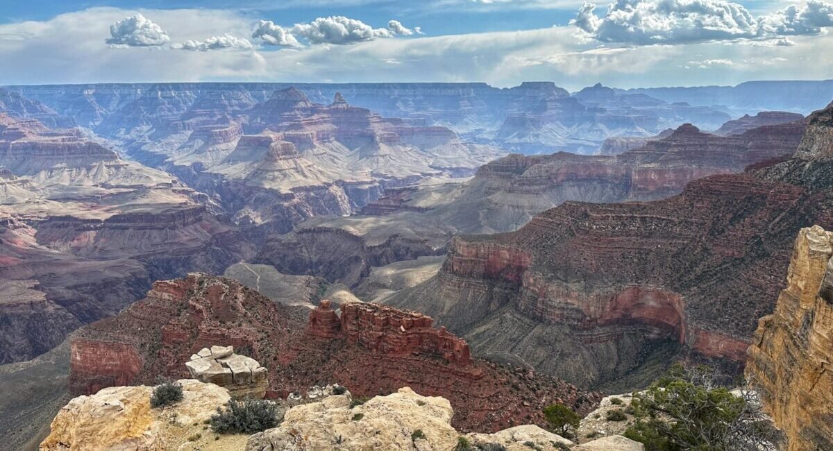
Grandview Trail descends steeply from Grandview Point toward Horseshoe Mesa on a historic route used long before modern recreation. It offers exceptional eastern-canyon views, but its rocky tread, large steps and extreme pitches make it more demanding than the maintained corridor trails.
Very steep upper trail
The route loses elevation quickly on rocky switchbacks and high steps. NPS classifies Grandview as a very steep trail for experienced desert hikers.
No drinking water to Horseshoe Mesa
Do not assume springs below the mesa will solve the water problem. NPS advises hikers to consult current backcountry information before relying on any source.
Weather exposure changes by season
Summer heat, winter ice and limited shade can each become the controlling factor. The upper trail deserves particular caution when icy.
Horseshoe Mesa Has a Human History
Grandview Trail crosses a landscape used by people for very different reasons over time. Long before modern tourism, Native people traveled into the area and gathered mineral pigments. Later, prospectors and miners pushed trail development toward Horseshoe Mesa and the Last Chance copper workings.
Native Use Came First
The route and mesa were part of a lived landscape long before the mining era. NPS interpretation notes that Native people gathered mineral paints on Horseshoe Mesa, a reminder that the trail's human story does not begin with prospectors.
Copper Changed the Trail
Mining activity at Horseshoe Mesa intensified use of the route. Remnants of the Last Chance Mine and related workings survive in the area, linking a modern backcountry hike with the South Rim's mining history.
The Old Purpose Still Shapes the Experience
The trail was not engineered as a gentle modern recreation path. Its steep grade, rough footing and directness reflect older travel needs. That history helps explain why Grandview can feel surprisingly severe despite beginning at a busy scenic overlook.
Coconino Saddle
NPS lists Coconino Saddle at about 1.1 miles one way, with roughly 1,000 feet of elevation change. It is a useful way to experience the character of Grandview without committing to Horseshoe Mesa, but the return climb remains steep.
Horseshoe Mesa
Horseshoe Mesa is about 3 miles one way with roughly 2,500 feet of elevation loss. NPS estimates six to nine hours round trip. Treat that as a strenuous desert hike with no drinking water available on the trail to the mesa.
Compare Eastern Trails
Review Grandview alongside New Hance and Tanner before selecting an eastern South Rim route. They share a more demanding backcountry character but solve very different access and water problems.
Check Current Trail & Water Status
This page is planning context, not a live trail-status feed. Trail condition, water information, heat guidance, ice and backcountry restrictions can change after publication. Review current park information immediately before hiking.