
Tanner Trail
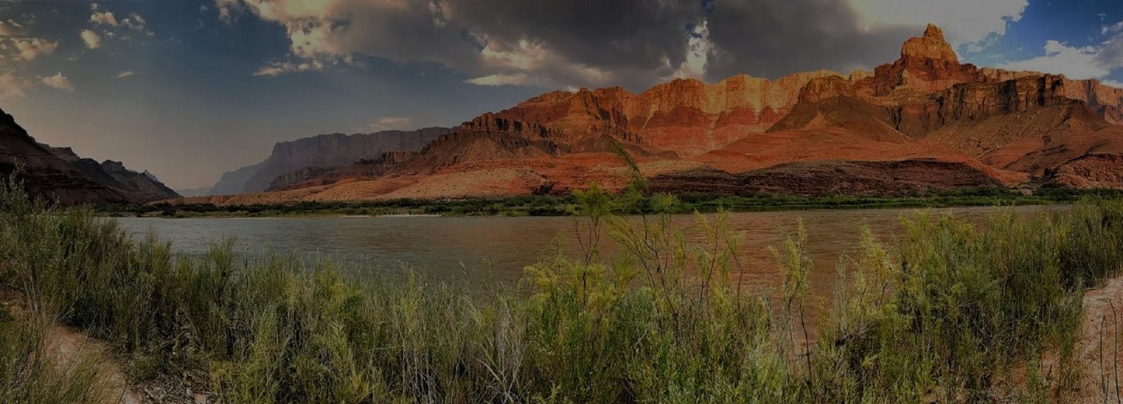
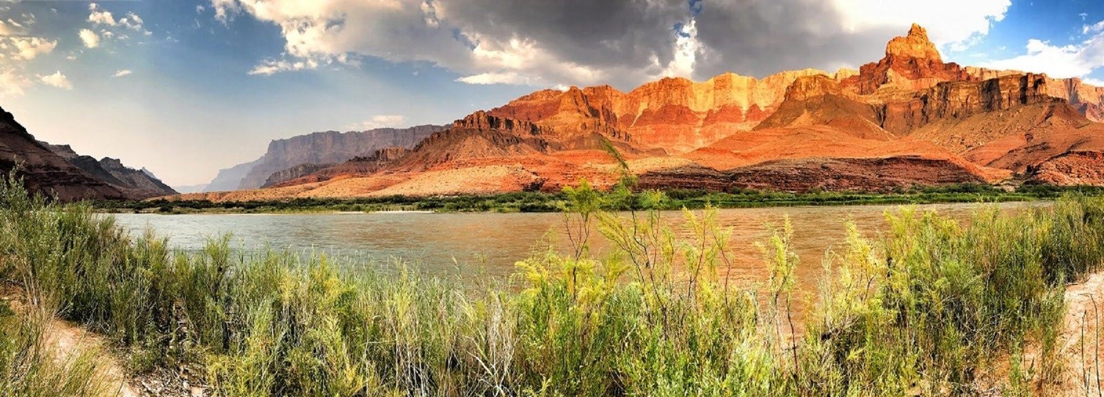
Tanner Trail descends from Lipan Point through the wide-open eastern Grand Canyon toward the Colorado River near Tanner Rapids. It is one of the park's most demanding developed trails: steep, rarely maintained, extremely exposed and a poor choice for a first inner-canyon hike.
LIPAN POINT ROAD IS TEMPORARILY CLOSED
Tanner Trail remains open, but Lipan Point and Lipan Point Road are closed from June 22 through December 23, 2026 for rehabilitation work. NPS directs Tanner Trail hikers to park at No Name Point, approximately 1,000 feet west of Lipan Point Road along Highway 64, and walk from there to the trailhead. Parking along Highway 64 near the Lipan Point Road intersection is not permitted. Verify current NPS access and backcountry guidance before attempting the route.
Long exposed descent
The eastern canyon is unusually open, with sparse vegetation and little shade. NPS specifically warns that Tanner can become exceptionally hot and should be avoided in warm or hot conditions.
Water is at the river
There are no water filling stations along Tanner Trail. NPS identifies the Colorado River as the route’s water source, so the entire descent must be planned around carrying enough water to reach it safely.
Primitive-trail judgment
The route is steep and rarely maintained. Navigation, rough footing, campsite selection and self-reliance matter more here than on the main corridor trails.
Tanner Crosses a Different Grand Canyon
Below Desert View, the canyon opens into broad terrain dominated in places by the tilted rocks of the Grand Canyon Supergroup. The softer, colorful units create a landscape that looks and feels very different from the horizontal cliff-and-slope architecture familiar from Grand Canyon Village.
Tilted Supergroup Rocks
The eastern inner canyon exposes ancient sedimentary and igneous rocks that are tilted rather than lying nearly horizontal. Their colors, softer slopes and structural complexity create the unusually broad floor visible below Desert View.
A Natural Route Used for Thousands of Years
NPS notes that Native people used this natural rim-to-river route for several thousand years. Modern hikers are entering a traveled cultural landscape, not discovering an empty wilderness route for the first time.
Mining and the Horsethief Route
Franklin French and Seth Tanner improved the route in 1890, helping miners reach claims below the rim. Tanner also formed the southern component of the notorious Horsethief Route, adding another layer to the trail's human history.
Furnace Flats Earned Its Name
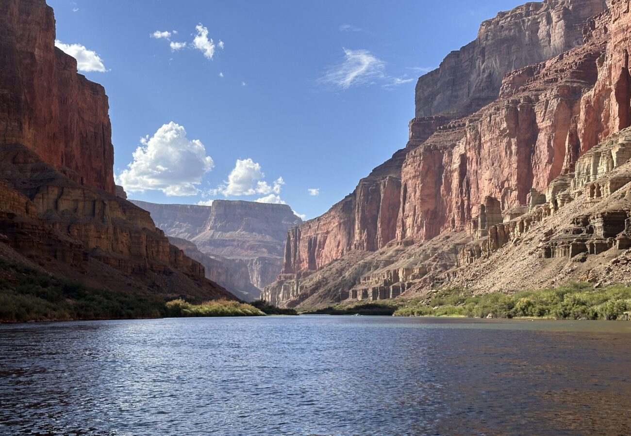
River runners call the broad lower eastern canyon Furnace Flats. The open terrain receives sun early and late, with very little shade. Tanner is not simply 'hot like the rest of Grand Canyon'—its exposure is one of the route's defining characteristics.
Experienced Canyon Walkers
Tanner rewards hikers who already know how to manage desert heat, primitive trail conditions, long water carries and remote backcountry travel. If those skills are still new, the maintained corridor system is a better place to build experience.
Connect Trail and River
Tanner reaches the Colorado River near Tanner Rapids and can connect with advanced eastern-canyon backpacking routes. Use the Inner Trails and Colorado River sections together when building a Tanner-based itinerary.
Check Current Trail & Water Status
This page is planning context, not a live trail-status feed. Heat, trail condition, river access and backcountry restrictions can change after publication. Review current park information immediately before hiking.