
Diamond Creek
Diamond Creek is one of the few places where a road reaches the Colorado River in the Grand Canyon region. It lies on Hualapai Tribal land and is used for river launches, passenger exchanges and take-outs. That makes it a working logistics point first, not a conventional scenic road or National Park entrance.
VERIFY THE UPSTREAM TRIP BEFORE DRIVING TO DIAMOND CREEK
Diamond Creek access has its own Hualapai road and authorization requirements, while upstream Grand Canyon river operations have been disrupted by the August 29 flash flood and current official information is changing quickly. Confirm the complete operating itinerary with your outfitter or trip leader before committing vehicles, pickups or exchanges to Diamond Creek.
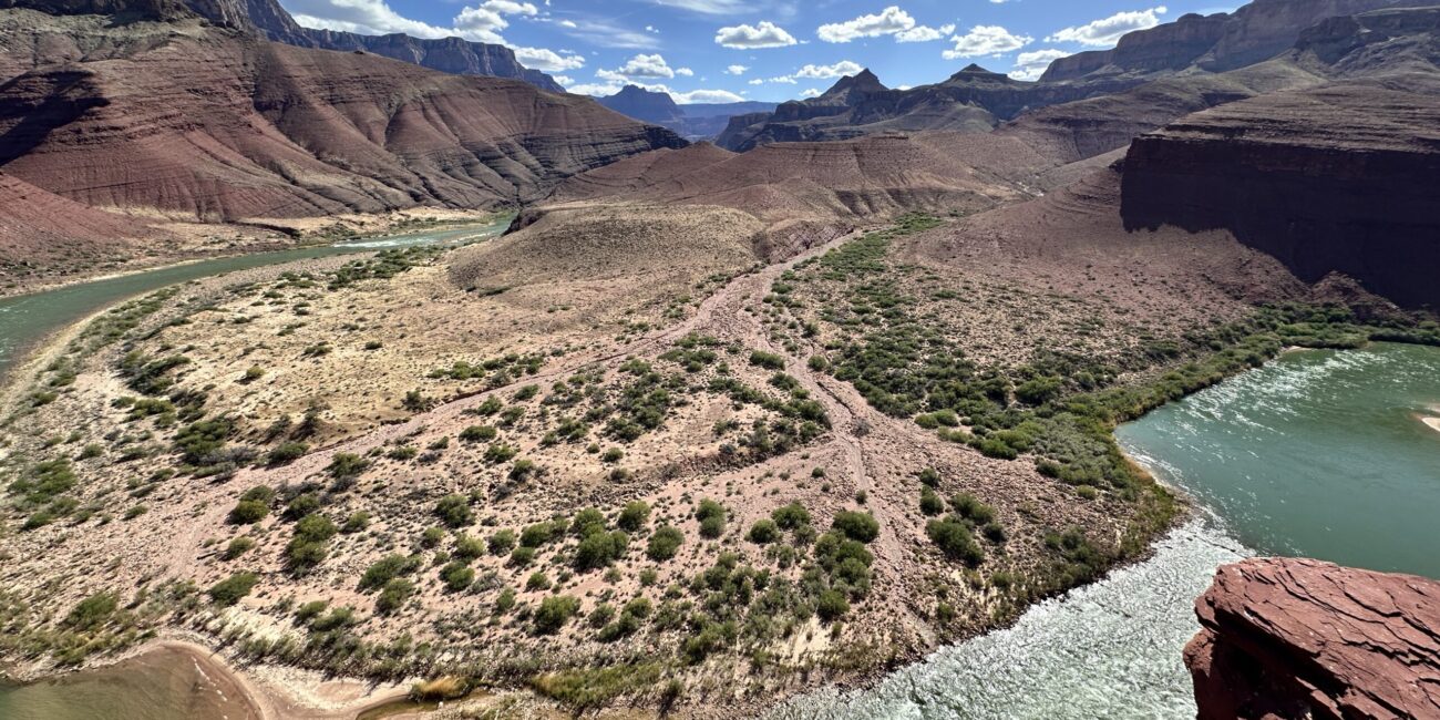
A Lower-Canyon Access Point
NPS identifies Diamond Creek near river mile 225 at the western end of Grand Canyon National Park. River trips may launch here, take out here or use it as a passenger and equipment transition point depending on the itinerary.
Hualapai Authorization Matters
Reaching the river by Diamond Creek Road requires travel across Hualapai Tribal land. Tribal authorization and access fees are separate from any National Park Service river permit or park entrance pass.
Vehicles, Boats and People Must Align
A take-out or exchange only works when passenger timing, boat handling, baggage, vehicles and onward transportation meet at the same place. Follow the instructions for your specific outfitter or permit rather than treating Diamond Creek as an independent roadside stop.
Confirm Two Separate Sets of Rules
The National Park Service manages Grand Canyon river permits and identifies Diamond Creek as a launch and take-out point for certain river trips. The Hualapai Tribe separately controls travel across Tribal land and use of Diamond Creek Road. A valid river plan can therefore involve both NPS requirements and Hualapai access requirements.
Treat Weather as a Logistics Issue
Diamond Creek Road follows desert drainage terrain where storms and flooding can affect access. Do not assume that a scheduled river transition makes the road automatically usable. Your operator or trip leader should confirm current access before vehicles are committed to the route.
Know Why Diamond Creek Is in Your Itinerary
For most travelers, Diamond Creek matters because a river itinerary tells them it matters. The planning question is not whether the road looks close on a map. It is what role Diamond Creek plays in the trip and who is responsible for each part of the transition.
Launching Here
Some noncommercial itineraries begin at Diamond Creek and continue through the Lower Gorge toward Lake Mead. NPS treats these as a distinct river-permit category.
Taking Out Here
Many longer river trips end or exchange passengers here. Confirm exactly which people, boats and equipment leave the river at Diamond Creek and what transportation is waiting.
Visiting the West Rim
Grand Canyon West is also on Hualapai land, but it is a different visitor destination with its own roads, attractions and ticketing. Do not treat Diamond Creek and Grand Canyon West as interchangeable access points.