

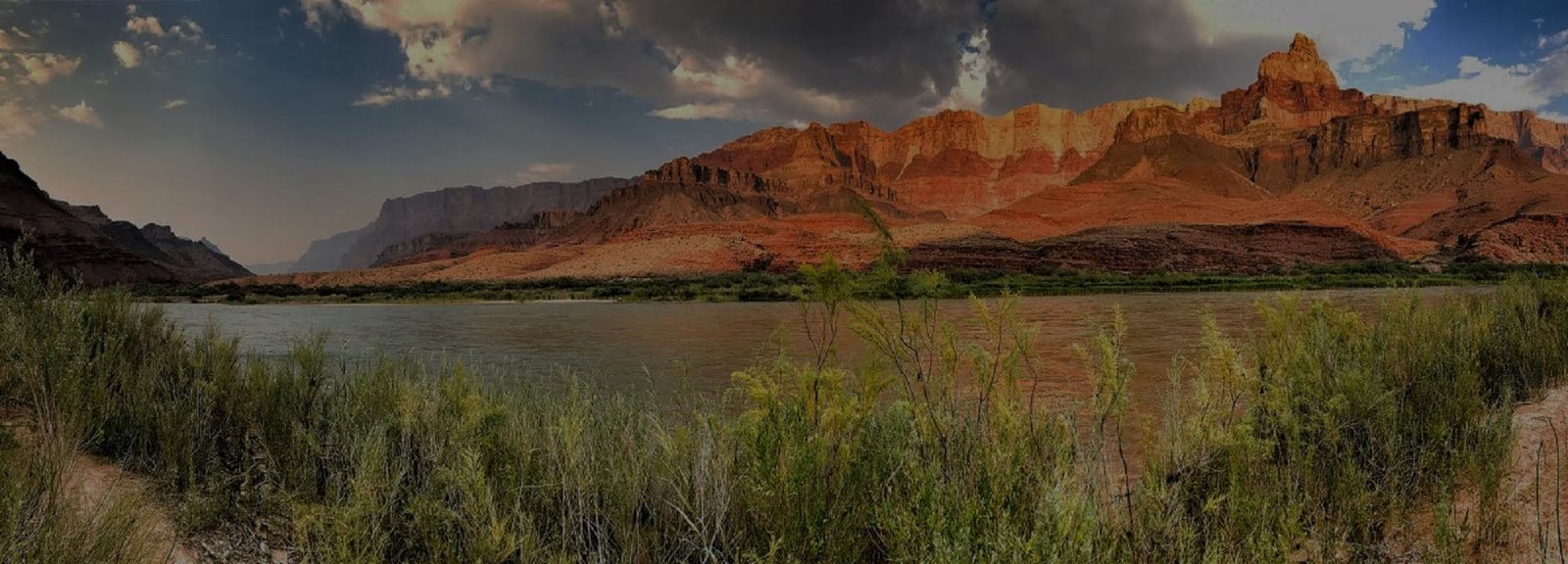
Grand Canyon Trail of Time
The Trail of Time turns part of the South Rim Trail into an outdoor geology exhibit. It connects Yavapai Geology Museum with Grand Canyon Village using rock samples, interpretive displays and a walking timeline, while keeping the canyon itself in view for much of the route.
Main interpretive section
The most exhibit-rich portion runs between Yavapai Geology Museum and Verkamp’s Visitor Center in Grand Canyon Village. NPS describes this section as about 1.3 miles (2.1 km) and suggests roughly one to two hours when using the exhibits.
How the timeline works
The National Park Service designed the trail so that distance represents geologic time. Bronze markers are set into the path, and displayed rock samples and viewing aids connect the timeline with formations visible across the canyon.
Easy to combine
Because the Trail of Time follows the paved Rim Trail through the central South Rim, it fits naturally with Yavapai Point, the geology museum, Grand Canyon Village and a broader rim-walking itinerary.
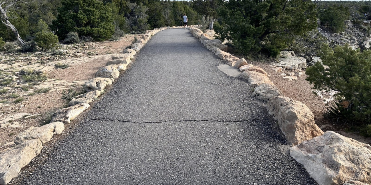
Begin at Yavapai Geology Museum
Starting near Yavapai Geology Museum gives the walk an immediate connection between exhibits inside the museum and the rock layers visible outside. NPS describes the main timeline walk west toward Grand Canyon Village as moving backward through the geologic history presented by the exhibit.
Three Ways to Walk It
You do not have to treat the Trail of Time as an all-or-nothing attraction. Use the central exhibit section for the strongest geology experience, shorten it when time is limited, or make it part of a longer Rim Trail walk.
Walk the Main Exhibit
Travel between Yavapai Geology Museum and Verkamp's Visitor Center, stopping at the rock samples, markers and interpretive exhibits rather than simply using the trail as a walkway.
Sample One Section
Start at Yavapai Point and walk west until your schedule says turn back or use the central access near Park Headquarters to join the timeline partway through. You can still see the concept without committing to the full route.
Continue Along the Rim
The Trail of Time is embedded in the larger Rim Trail system. Continue through the village or farther west when you want a longer scenic walk rather than ending the experience at the final exhibit.
A Practical Rim Experience
NPS identifies the main Trail of Time section as paved and accessible, with shuttle stops and parking areas near major entry points. That makes it one of the strongest ways to combine interpretation, scenery and a relatively easy walk on the South Rim. Check current shuttle and access information before your visit.
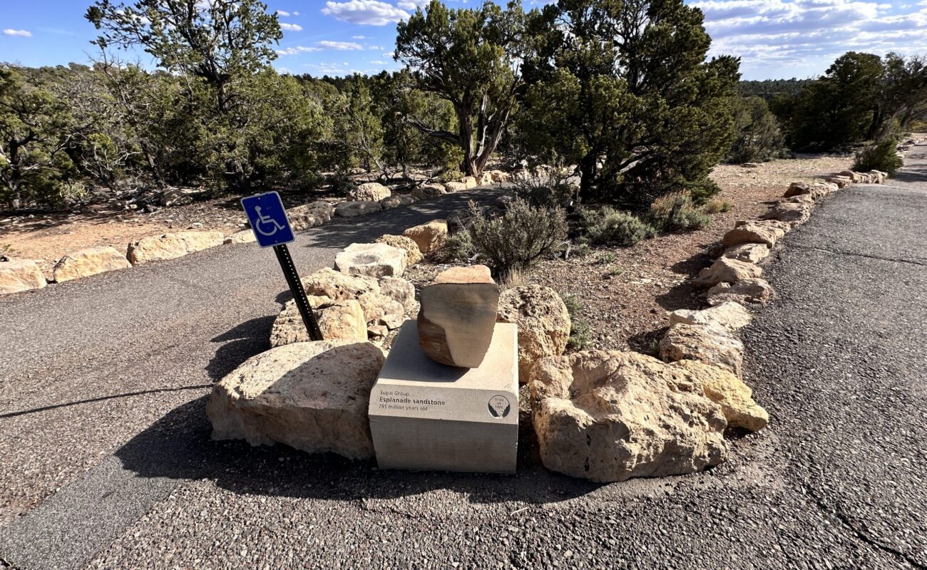
What You Are Looking At
The Trail of Time works best when you use it to connect individual rock samples with the larger landscape. Watch how cliff-forming and slope-forming units create the canyon's stair-step profile, and use Yavapai's broad view to trace layers across side canyons.
Rock Samples
Displayed rocks let visitors examine textures and features at arm's length rather than trying to identify every layer from across the canyon.
Layer Relationships
The trail helps connect named formations with their relative positions in the canyon walls and with the cliffs or slopes they tend to produce.
The Canyon View
The interpretive material matters because the real exhibit is beside you: the exposed rock sequence, inner gorge, side canyons and broad South Rim panorama.