
Grand Canyon Maps
A map is one of the most useful Grand Canyon planning tools because the canyon itself prevents direct travel between many places. Use an overview map to understand entrances and driving, then switch to area maps for shuttles, trails and developed visitor zones.
Interactive regional map. Download official park maps before entering areas with limited cell service.
South Rim Map
Use for the South Entrance, Desert View/East Entrance, Grand Canyon Village, Hermit Road, Desert View Drive and major visitor facilities.
Shuttle Map
Seasonal shuttle routes determine how you move between the Visitor Center, village, trailheads and Hermit Road. Route maps change with operating season.
North Rim Map
Use the 2026 North Rim map for roads, viewpoints and facilities during the recovery season. Pair it with current North Rim status and live hiking messages rather than assuming a mapped road or trail is currently open.
Use the Right Map for the Task
Road maps answer how to reach an entrance. Shuttle maps answer how to move after parking. Trail maps show elevation and junctions. Backcountry maps are for route planning and navigation, not just sightseeing. No single map should be expected to do all four jobs.
Offline Navigation
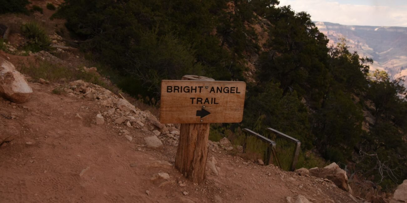
Cell coverage is inconsistent. Download map areas before leaving Flagstaff, Williams, Page or Las Vegas, and keep a paper or PDF map for remote roads. Do not rely on a single navigation app to choose the correct entrance.
Trail Navigation
For inner-canyon hiking, know the route, junctions, water locations and elevation profile before starting. A phone map is helpful but should not replace route knowledge or current trail-condition checks.
Grand Canyon West and Havasupai Use Separate Maps
Grand Canyon West is on Hualapai land northwest of Grand Canyon National Park, while Havasupai access begins from a separate trailhead and requires tribal permits. Do not use a South Rim park map to navigate to either destination.