
New Hance Trail
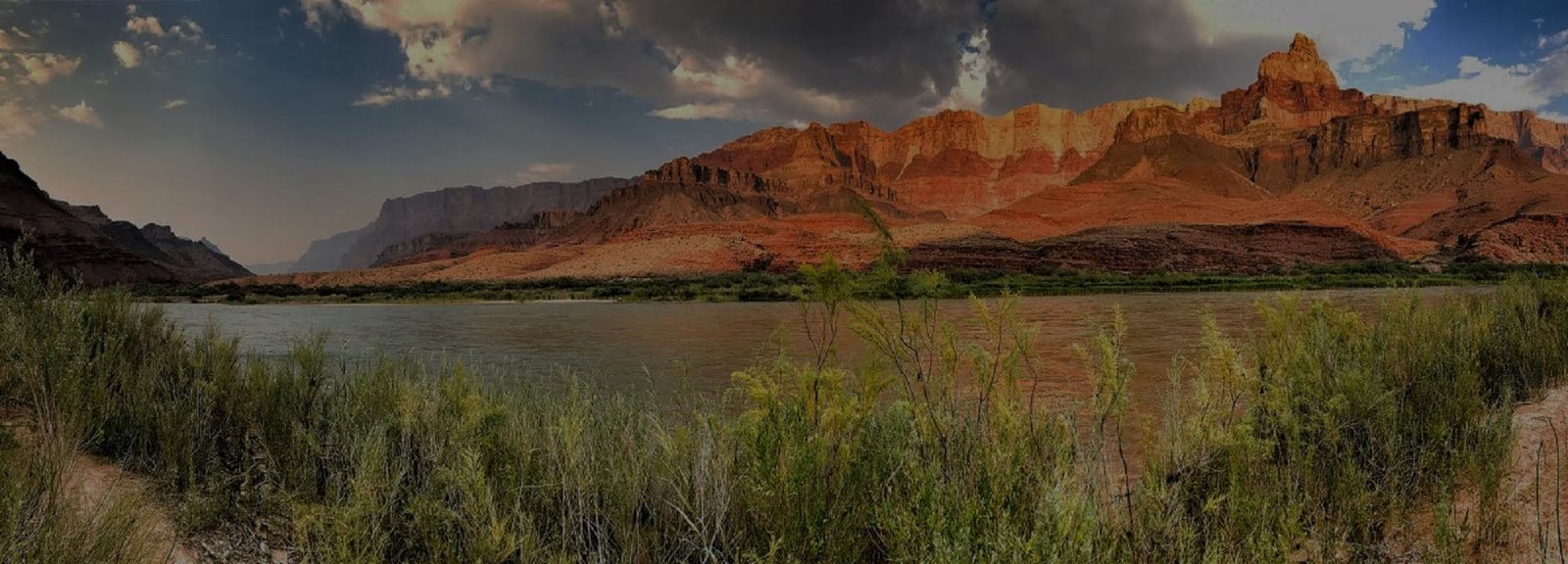
New Hance Trail is a steep, rugged and largely unmaintained route into the eastern inner canyon. It follows a historic line into Red Canyon and is best treated as an experienced backcountry objective rather than a casual extension of rim sightseeing.
Demanding terrain
Loose rock, steep grades and route-finding challenges require strong canyon hiking judgment.
Limited support
The route has fewer developed features than corridor trails, increasing the importance of water research and self-reliance.
Long descent to the river
NPS lists Hance Rapids at about 6.5 miles from the trailhead and roughly 4,400 feet lower. The Colorado River is the only reliable year-round water source on the route.
John Hance, Red Canyon and the New Hance Trail
The route carries the name of John Hance, one of the best-known personalities of early Grand Canyon tourism. Hance came to the canyon in the late nineteenth century, pursued mining claims, improved trails and quickly discovered that guiding visitors could be more profitable than extracting ore.
A Working Route Into Red Canyon
Hance developed access into Red Canyon in connection with mining claims. The trail was never conceived as an easy recreational descent, and the modern route still reflects that direct, rugged purpose.
The Trail Became Part of the Show
As tourism grew, Hance became a guide and storyteller as famous as many of the places he showed visitors. President Theodore Roosevelt was among the people Hance guided into the canyon. The trail therefore belongs to both mining history and the story of early canyon tourism.
Red Canyon Exposes a Different Geologic Scene
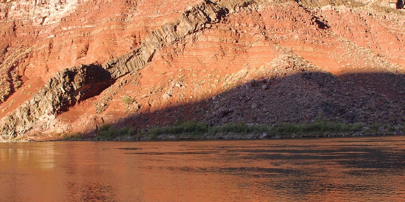
Near Hance Creek and the river, the route enters vividly colored older rocks and structural features unlike the broad horizontal cliff sequence seen from many rim overlooks. The geology is part of what makes this eastern route feel so distinct.
Do Not Build the Plan Around an Uncertain Source
NPS identifies the Colorado River as the only reliable year-round water source on New Hance. Any intermittent water higher on the route should be treated as conditional and researched immediately before the trip.
Experienced Canyon Travelers
This is not the route to learn desert backcountry basics. Strong navigation, water planning, rough-terrain movement and self-rescue judgment should already be familiar before New Hance becomes the chosen trail.
Compare the Eastern Routes
Review New Hance alongside Grandview and Tanner, then build the route around current conditions, permits, water and transportation rather than mileage alone.
Check Current Trail & Water Status
This page is planning context, not a live trail-status feed. Trail condition, water information, heat guidance and backcountry restrictions can change after publication. Review current park information immediately before hiking.