
Inner Canyon Trail Planning
Inner-canyon hiking and backpacking require a different planning standard than rim walks. The first decision is not how many miles you want to hike. It is what kind of trail system you are entering, what conditions you can actually manage, and how you will get yourself back out.
VERIFY NORTH KAIBAB & PHANTOM RANCH STATUS
Current NPS hiking guidance lists Bright Angel Trail open from the South Rim to River Resthouse, Plateau Point Trail open to Plateau Point, South Kaibab Trail open only to Tip-Off, and the Tonto Trail open between Tip-Off and Havasupai Gardens. The entire North Kaibab Trail, Phantom Ranch, Black Bridge and Silver Bridge remain closed. If your plan depends on the North Rim corridor, Phantom Ranch area, Bright Angel Campground or a river crossing, check the live Key Hiking Messages and current alerts before making reservations or transportation arrangements.
Three Different Kinds of Inner-Canyon Hiking
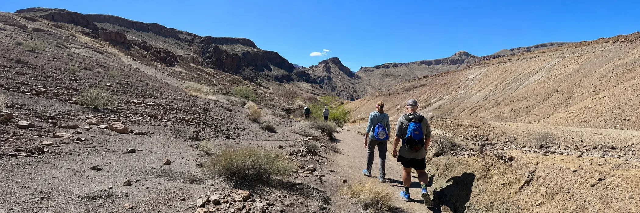
Grand Canyon trails do not become interchangeable simply because they all descend below the rim. The maintained corridor system, rugged historic routes and remote eastern trails place very different demands on a hiker.
Bright Angel, South Kaibab & North Kaibab
These are the canyon's principal maintained routes. Each has distinct water, construction and access considerations, and current conditions should be checked before treating the corridor system as a continuous route.
Hermit & Grandview
These trails carry more of their older character into the modern hiking experience. Rough tread, steep grades, less-developed infrastructure and more demanding water planning make them better suited to hikers who already understand desert-canyon travel.
New Hance & Tanner
These routes enter less-developed parts of the eastern inner canyon. Long exposed descents, limited support, route-finding demands and widely separated reliable water make them serious backcountry objectives rather than casual extensions of rim sightseeing.
Answer Four Questions First
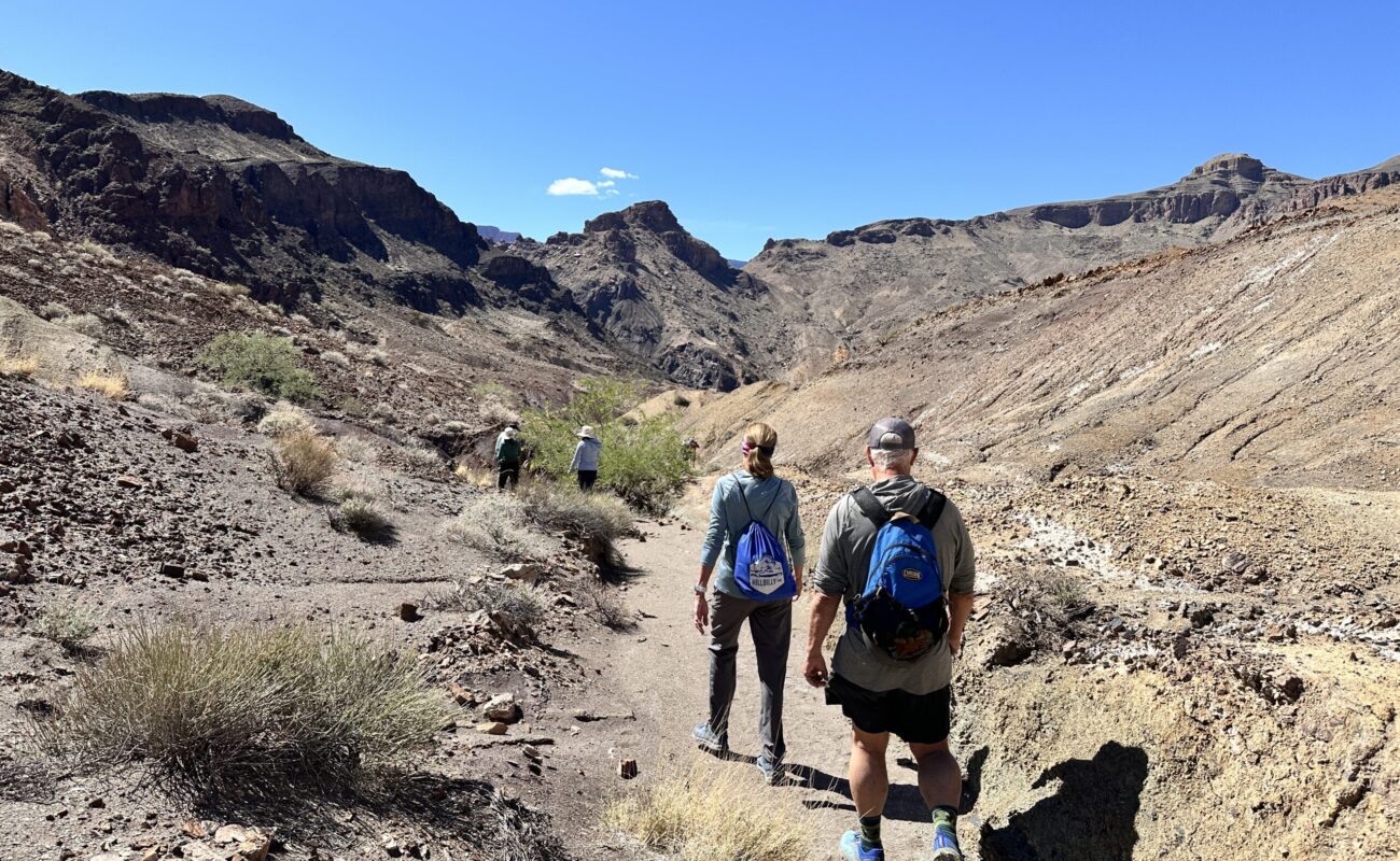
A route should survive these four questions before it ever reaches the itinerary. If one answer is uncertain, solve that problem before adding mileage.
1. Where Is the Water?
Do not treat a blue map symbol or an old trip report as a guarantee. Seasonal faucets, springs and creeks can change or fail. Know what is reliable, what requires treatment and what must be carried.
2. How Do You Get Out?
Plan the ascent before enjoying the descent. Elevation gain, heat, daylight and the slowest member of the group should determine the turnaround point, not how easy the downhill miles feel.
3. What Is Exposed?
Shade, winter ice, steep drop-offs, loose rock and storm exposure vary by route and season. The same trail can demand a very different plan in January, May, July or September.
4. How Does Transportation Work?
Some trailheads depend on shuttle access, some are far from where a hike finishes, and one-way itineraries can require substantial vehicle planning. Solve the transportation problem before the hiking day.
Choose a Turnaround, Not a Destination
For a day hike, the useful question is not how far you can descend. It is how far you can descend and still climb back with a comfortable margin for heat, weather, slower pace and changing trail conditions. A shorter hike that ends with energy in reserve is usually the better canyon day.
Build the Route Around What You Can Actually Reserve
Backcountry permits, campsites and transportation can determine the shape of an overnight itinerary. Start with currently confirmed open use areas, campsite status and permits, then build pace and mileage around those logistics. If the route uses North Kaibab or a river crossing, check the live Key Hiking Messages and current alerts immediately before travel.
Compare the Routes Before You Commit
Use the Inner Trails hub to compare the maintained corridor system with the historic and remote routes. Route-specific pages then add the details that matter for each trail.
Check Current Trail & Water Status
This page is planning context, not a live trail-status feed. Trail access, seasonal water, heat guidance, bridge status and construction conditions can change quickly. Review the current NPS Key Hiking Messages and our Current Conditions page immediately before a below-rim hike.