

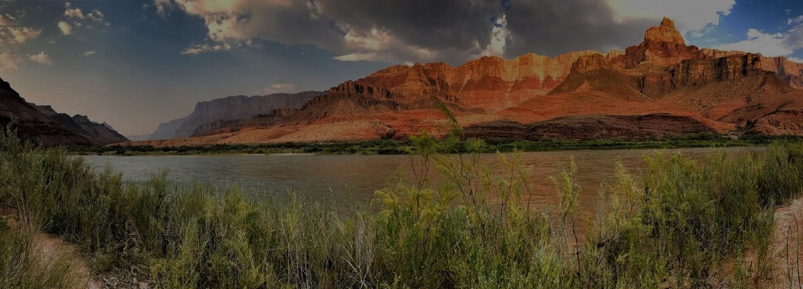
North Kaibab Trail
North Kaibab Trail is the principal maintained route from the North Rim into Grand Canyon and ordinarily forms the northern leg of rim-to-rim travel. Its current operating status can change quickly, so check live NPS hiking messages before relying on the trail.
VERIFY NORTH KAIBAB TRAIL & PHANTOM RANCH STATUS
Current NPS Key Hiking Messages list the entire North Kaibab Trail closed, along with Phantom Ranch, Black Bridge and Silver Bridge. North Rim scenic roads and selected rim areas are open, but that does not create an inner-canyon route. Do not plan a rim-to-rim crossing, Phantom Ranch connection or river hiking exchange from the North Rim until live NPS hiking guidance shows the corridor open again.
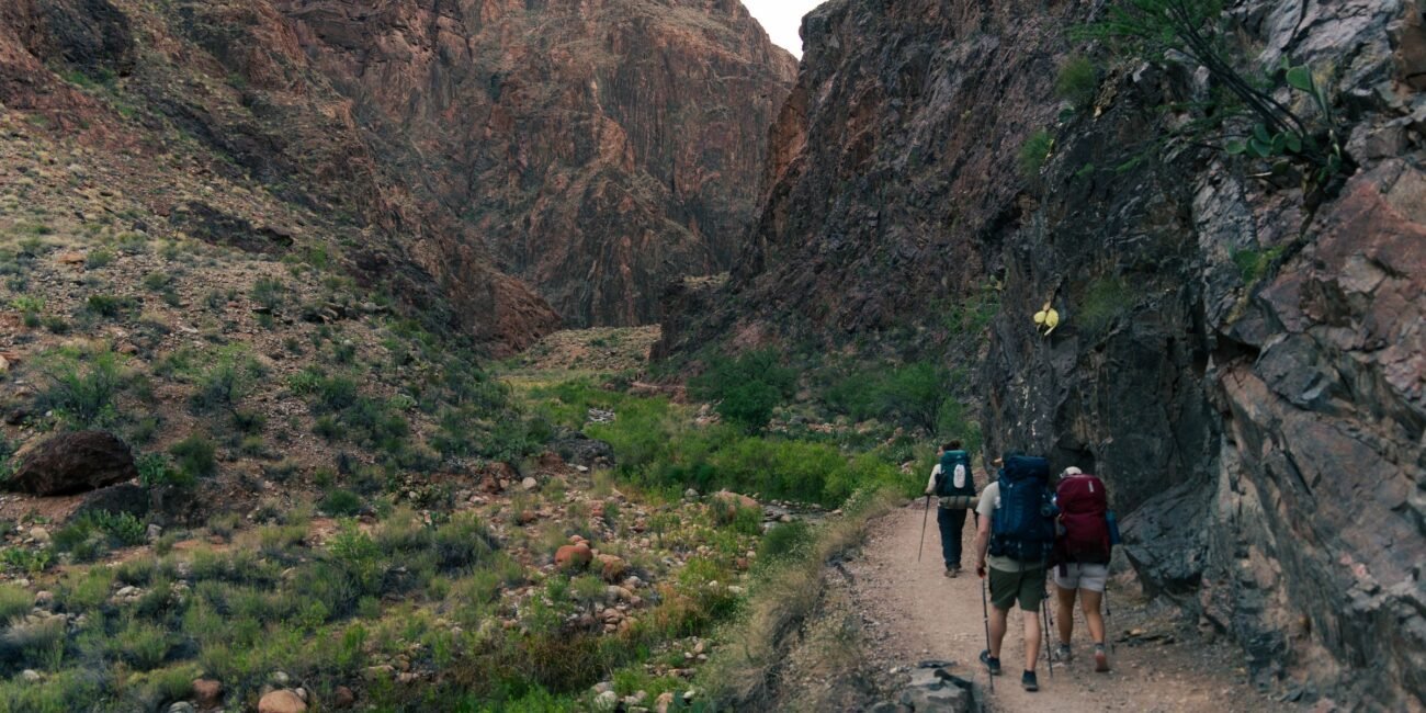
Large elevation change
When open, the route descends from a trailhead at about 8,241 feet through major ecological zones toward the Colorado River. The North Rim begins roughly 1,000 feet higher than South Rim trailheads.
Seasonal access is only part of the problem
Ordinarily, North Rim road access and winter weather limit the hiking season. In 2026, fire impacts, infrastructure work and the August flash flood have created a much more complicated operating environment.
Rim-to-rim depends on this trail
There is no alternate maintained North Rim route that substitutes for North Kaibab in a traditional rim-to-rim crossing. Confirm current trail access before arranging a crossing.
A Hike Through an Enormous Change in Elevation
North Kaibab is distinctive because the landscape changes almost immediately. The trail begins in high forest, then descends through increasingly warm and dry ecological zones toward Bright Angel Canyon and the river. Even a short upper-trail hike shows how strongly elevation shapes Grand Canyon. Because post-flood access can change quickly, check the live Key Hiking Messages immediately before deciding which portions are usable.
Coconino Overlook
Under normal open conditions, NPS lists Coconino Overlook at about 1.4 miles round trip with roughly 790 feet of elevation change. It offers a compact introduction to the scale of the North Rim descent.
Supai Tunnel
Supai Tunnel is about 4 miles round trip with roughly 1,400 feet of elevation change. It is already a substantial climb back to an 8,000-foot rim and should not be treated as an easy four-mile walk.
A Route Rebuilt Around Bright Angel Creek
The present trail was constructed in the 1920s to replace an older route notorious for crossing Bright Angel Creek dozens of times. Under normal conditions, the modern alignment crosses the creek far fewer times, although the 2026 flood has heavily damaged the bridge system.
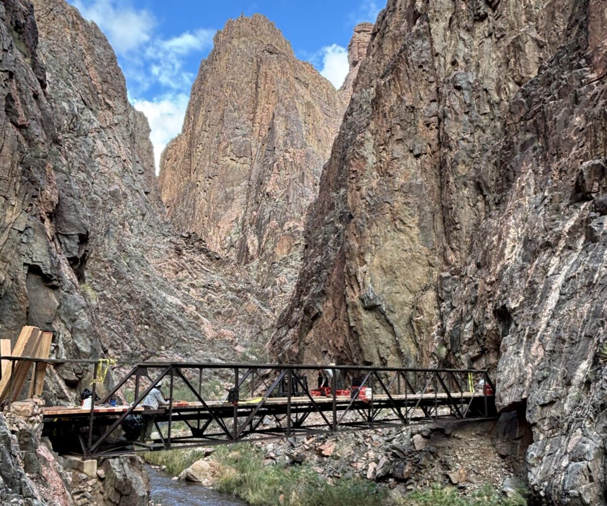
North Kaibab Trail footbridge above Phantom Ranch, photographed before the August 29, 2026 flash flood and subsequent closures.
Waterline Construction Still Matters
Regardless of the current post-flood status, a separate hard closure between Redwall Bridge and Cottonwood Campground is scheduled to begin October 15, 2026 for Transcanyon Waterline work. That construction closure is expected to prevent traditional rim-to-rim travel through the affected section.
Treat Every Status Change as New Information
Do not assume the trail has returned to a normal operating pattern simply because Highway 67 or scenic roads are open. The entire North Kaibab Trail is currently closed, and flood damage, bridge work, water availability and the October construction closure can continue to change how the corridor functions. Recheck live NPS hiking guidance immediately before travel.
Understand the Rim-to-Rim System
Use the Rim-to-Rim guide to connect North Kaibab with South Rim routes, transportation, lodging and the construction calendar, but treat the live NPS Key Hiking Messages as the final authority for current trail access before committing to a crossing.
Recheck North Kaibab Before Any Trip
Current NPS hiking guidance lists the entire North Kaibab Trail closed, along with Phantom Ranch and both Colorado River footbridges. Bridge status, water availability, weather and construction schedules can change quickly, so use the live NPS hiking messages and current alerts immediately before making travel decisions.