

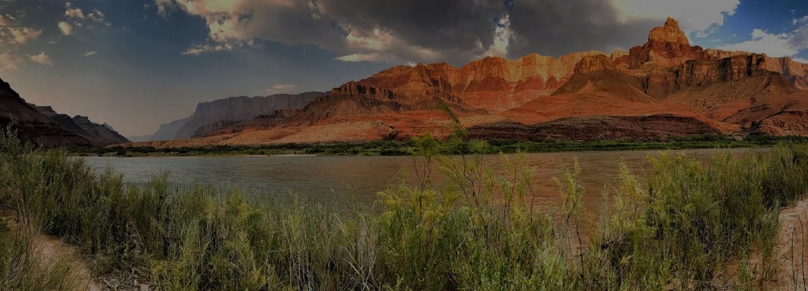
Hermit Trail
Hermit Trail descends from the western South Rim into rugged terrain associated with the historic Hermit Camp corridor. It is a more demanding route than the maintained corridor trails, but its roughness is layered over one of Grand Canyon's most interesting early tourism routes.
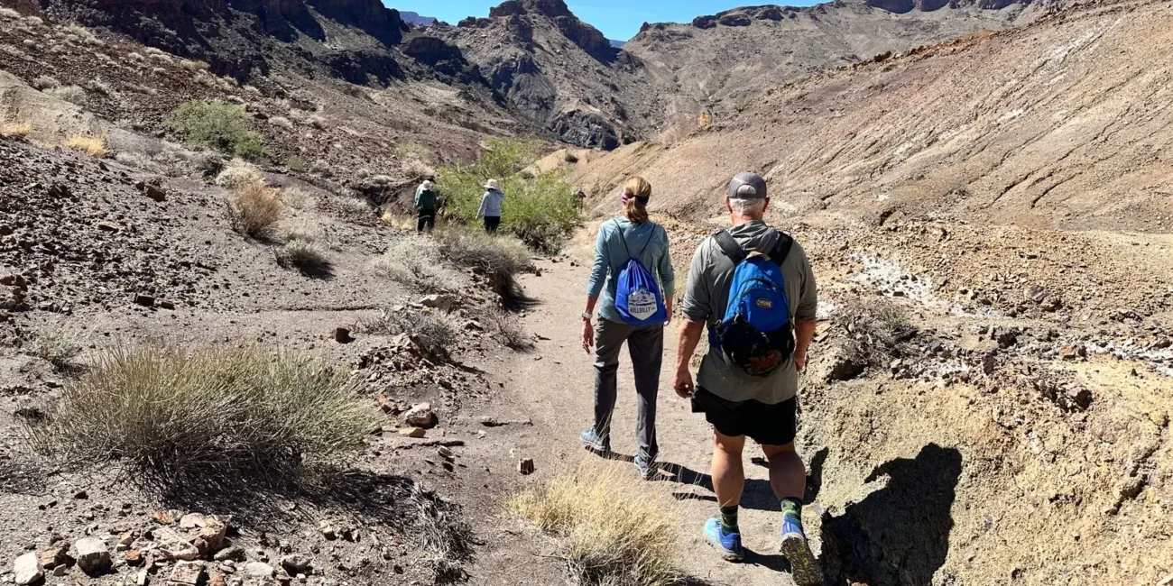
Rugged conditions
Expect rough tread, route-finding demands and fewer developed features than on Bright Angel or South Kaibab.
Trailhead logistics
The modern trailhead sits just west of Hermits Rest. During the main shuttle season, day hikers use the Hermit Road Red Route rather than parking at the trailhead.
Backcountry planning
Water from springs must be treated. Longer itineraries require careful attention to permits, camps, weather and emergency self-reliance.
From Mining Trail to Premier Tourist Route
Hermit Trail did not begin as a modern recreational trail. Its story passes through prospecting, early canyon tourism, the Santa Fe Railway and Fred Harvey era, and a below-rim tourist camp. Some of the old construction can still be recognized in the trail today.
The Hermit Before Hermit Trail
Prospector Louis Boucher lived near Dripping Springs and built early routes through the western canyon. His isolation earned him the nickname 'the hermit,' although he also guided visitors and participated in the growing South Rim tourism economy.
Built for Mule-Borne Tourism
The Santa Fe Railway and Fred Harvey interests developed the upper route into an unusually well-constructed trail, including cobbled and reinforced sections. Visitors once rode down to Hermit Camp, where tent cabins, meals and other services created a remarkable early tourism operation below the rim.
The Historic Engineering Remains, the Services Do Not
Hermit Camp closed long ago, and the trail is no longer maintained to the standard of the main corridor routes. The remaining old construction is part of the experience, but hikers should approach the route as an experienced-desert-hiker trail rather than a restored historic walkway.
Santa Maria Spring
NPS identifies Santa Maria Spring as a roughly 5-mile round-trip day-hike objective. Even this shorter outing uses a steep, rough trail and should be treated as desert hiking rather than a casual overlook walk.
Dripping Springs
Dripping Springs is roughly a 7-mile round trip and extends the day into more demanding terrain. Any natural water source must be treated, and current conditions should determine whether the route is appropriate at all.
Connect the Trail With Hermit Road
Hermit Trail begins at the western end of the South Rim scenic corridor. Understand the current shuttle and road pattern before building the hike into the day.
Check Current Trail & Water Status
This page is planning context, not a live trail-status feed. Trail access, shuttle operations, spring conditions, heat guidance and weather can change after publication. Review current park information immediately before a below-rim hike.