
Rim-to-Rim
A rim-to-rim hike is one of Grand Canyon's signature adventures and a serious endurance objective. Confirm route availability, seasonal access, water, transportation and overnight logistics before committing to a crossing.
VERIFY NORTH KAIBAB BEFORE ANY RIM-TO-RIM HIKE
Current NPS hiking guidance lists the entire North Kaibab Trail closed, along with Phantom Ranch, Black Bridge and Silver Bridge. Bright Angel Trail is open from the South Rim to River Resthouse, Plateau Point Trail is open to Plateau Point, South Kaibab Trail is open only to Tip-Off, and the Tonto Trail is open between Tip-Off and Havasupai Gardens. There is no continuous maintained rim-to-rim route at present. Check the live Key Hiking Messages immediately before arranging transportation or starting a crossing.
North to South
Under normal open conditions, this is the classic direction for many hikers because the North Rim starts higher. The route follows North Kaibab to the Colorado River, then climbs to the South Rim by Bright Angel or South Kaibab. That connection should be treated as provisional until the live Key Hiking Messages confirms a continuous usable route for your date.
One day vs. overnight
When the route is open, a one-day crossing is an advanced endurance effort. Most visitors are better served by a permitted overnight itinerary that allows time to recover, manage heat and experience the inner canyon rather than racing through it.
Transportation
The rims are only about ten miles apart as the raven flies, but driving between them is roughly 200 miles. Shuttle logistics are a separate planning problem even when the trail is open, especially during the North Rim’s shorter operating season.
Flood Status and October Construction Both Matter
Before the August 29 flood, the next major planning boundary was a scheduled hard construction closure beginning October 15 between Redwall Bridge and Cottonwood Campground. Several current NPS resources cover different parts of the post-flood operating picture, so verify the live Key Hiking Messages before making a crossing plan. Regardless of the current flood status, the separate October waterline closure remains a major later-season constraint on traditional crossings.
Do not improvise this hike
A closure of the North Kaibab corridor removes the maintained route. Do not attempt an alternate canyon crossing around damaged infrastructure or closed trail sections.
Build the Logistics Before the Miles
Rim-to-rim failures often begin before anyone reaches the trailhead. Transportation, overnight reservations, permits, seasonal access and water planning should be settled before you build a pace chart or mileage goal. In the current post-flood period, first confirm that NPS is showing a continuous usable route on the live Key Hiking Messages.
Trail Status First
Do not begin with mileage or shuttle planning. First verify that North Kaibab, the river corridor and your South Rim exit trail are open and connected. In 2026 that check is essential because flood damage and construction can interrupt the route completely.
Transportation
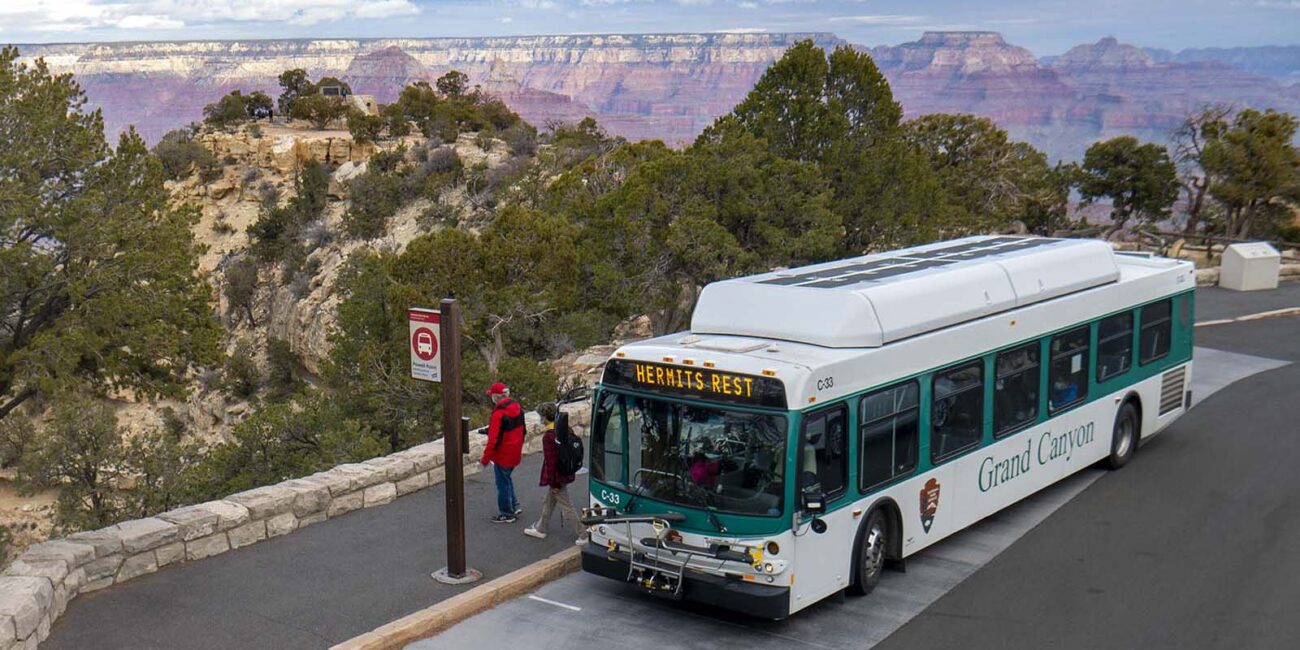
The road distance between rims makes vehicle logistics a separate planning problem. Arrange your shuttle, vehicle transfer or pickup strategy before the hike rather than assuming it can be solved after arrival.
Permits & Lodging
For an overnight crossing, campsite or lodging availability can determine the entire itinerary. Build the route around what you can actually reserve instead of designing an ideal schedule first and trying to force reservations into it later.
Recheck the Live Route Immediately Before the Hike
Do not infer rim-to-rim availability from North Rim road status, an old closure notice or a reservation system. Current NPS hiking guidance lists the entire North Kaibab Trail and both Colorado River footbridges closed, so a continuous maintained crossing is not available. Use the live hiking messages and current alerts immediately before committing to a crossing. The separate October 15 construction closure between Redwall Bridge and Cottonwood Campground also remains an important later-season constraint.