
Hiking & Trails
Grand Canyon hiking ranges from flat rim walks to some of the most demanding desert trails in North America. The defining challenge is easy to underestimate: most inner-canyon hikes begin downhill, so the hardest part comes on the return climb—often in hotter conditions than when you started.
VERIFY NORTH KAIBAB & PHANTOM RANCH STATUS
Current NPS hiking guidance lists Bright Angel Trail open from the South Rim to River Resthouse, Plateau Point Trail open to Plateau Point, South Kaibab Trail open only to Tip-Off, and the Tonto Trail open between Tip-Off and Havasupai Gardens. The entire North Kaibab Trail, Phantom Ranch, Black Bridge and Silver Bridge remain closed. Check current NPS trail and water messages before every below-rim hike.
Easy: Rim Trail
The South Rim Trail gives visitors flexible distances, frequent viewpoints and access to shuttle stops. Several sections are paved and relatively level, making it one of the best ways to experience the canyon without committing to a steep descent.
Moderate to hard: below the rim
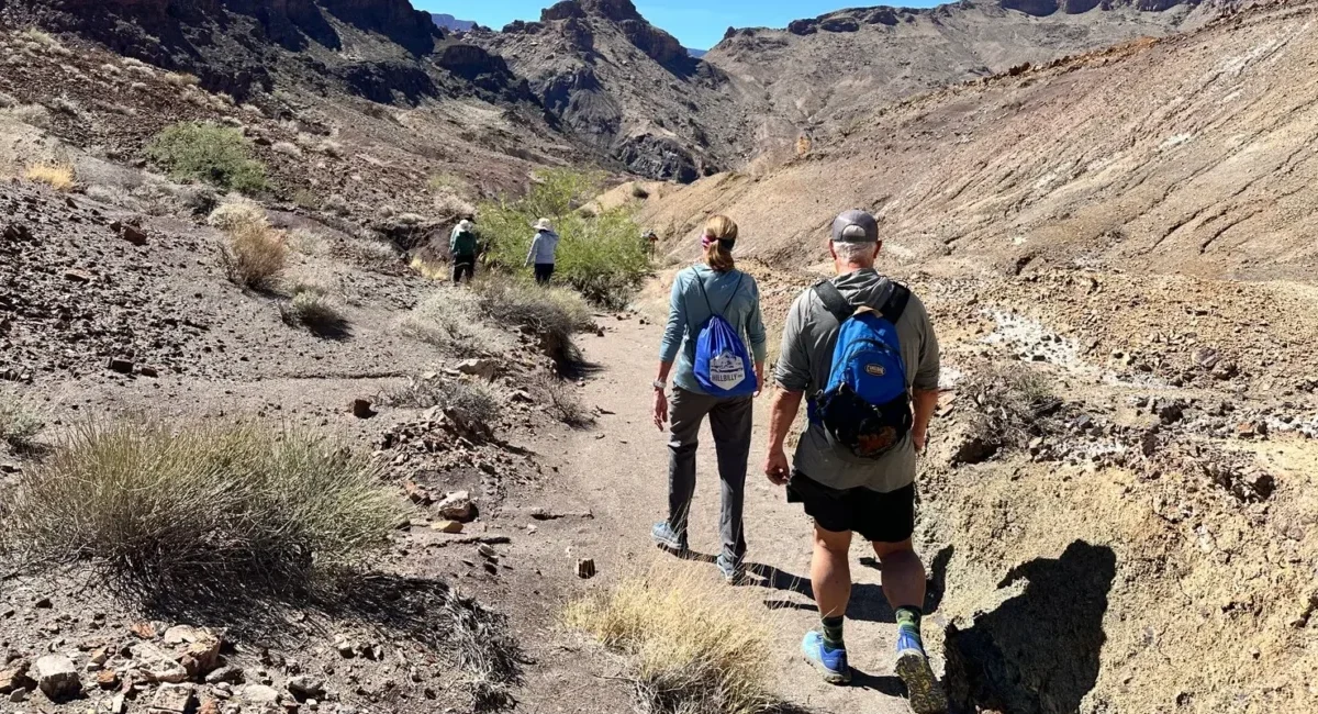
Bright Angel and South Kaibab are the primary corridor trails from the South Rim. A short descent can still become strenuous on the climb back. Turnaround time—not distance alone—should control your plan.
Backcountry
Overnight hiking below the rim normally requires a backcountry permit. Campsites, water availability and trail status change, so reservations and current NPS trail messages should be part of the planning process.
The canyon gets hotter as you descend
Summer temperatures in the inner canyon can exceed rim temperatures by a wide margin. In a June 18, 2026 safety warning, NPS strongly advised avoiding strenuous inner-canyon hiking between 10 a.m. and 4 p.m. Shade temperatures can reach about 109°F (43°C), while sun-exposed ground is hotter still. Start very early, carry adequate water, electrolytes and food, and never assume a seasonal water source is operating without checking current status.
Flood Status and October Construction Both Matter
The August 29 flash flood affected the North Kaibab corridor, and current route status should be checked immediately before travel. Current NPS hiking guidance lists the entire North Kaibab Trail closed, Bright Angel Trail open to River Resthouse, South Kaibab Trail open only to Tip-Off, the Tonto Trail open between Tip-Off and Havasupai Gardens, and both Black Bridge and Silver Bridge closed. Phantom Ranch also remains closed. Separately, a hard construction closure remains scheduled between Redwall Bridge and Cottonwood Campground beginning October 15.
Compare More Than Mileage
Trailhead access, water, shade, exposure, elevation change and the climb back out matter more than a simple distance number. Use the inner-trails planning guide before choosing a route.
Avoid the Classic Hiking Mistakes
The downhill-first profile, heat and unrealistic turnaround goals are among the easiest Grand Canyon mistakes to make. A conservative hike is usually a better hike.
Self-Guided or Guided Hike?
Many visitors can enjoy the Rim Trail or a conservative below-rim day hike without hiring a guide. A guide becomes more valuable when route choice, heat management, pacing, interpretation, transportation or backcountry logistics are the difficult part of the trip.
Rim Walks
The Rim Trail offers flexible distances and frequent access points. For many first-time visitors, this is the easiest way to add meaningful walking without committing to a major descent.
Below-Rim Day Hikes
Bright Angel and South Kaibab reward even short descents, but the return climb changes the calculation. Match the route to weather, water, fitness and turnaround time—not to a mileage goal.
Guided Hiking
Consider an authorized guide when you want interpretation, help selecting an appropriate route, a specialist outing, or support with complex backcountry planning. The goal is not simply to have someone walk beside you; it is to solve a planning or experience problem.
Check the Variables That Can Change
Trail access, drinking-water status, weather and construction conditions can change faster than an evergreen hiking guide can. Use the current NPS hiking messages immediately before your hike, then use our planning pages for route context and trip structure.