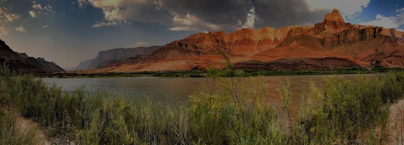
Explore the Grand Canyon
Grand Canyon is not one viewpoint or one entrance. It is a vast region of high rims, inner-canyon trails, the Colorado River, tribal lands and gateway communities. Use this room to build a mental map of where places are, how they relate to one another and what makes each part of the canyon distinct.
Verify North Kaibab & Phantom Ranch Status
Current NPS hiking guidance lists Bright Angel Trail open to River Resthouse, Plateau Point Trail open to Plateau Point, South Kaibab Trail open only to Tip-Off, and the Tonto Trail open between Tip-Off and Havasupai Gardens. The entire North Kaibab Trail, Phantom Ranch, Black Bridge and Silver Bridge remain closed. If your plan includes an inner-canyon route, river crossing or rim-to-rim itinerary, check the live hiking messages and current alerts immediately before travel.
Understand the Canyon by Place
The South Rim, North Rim, inner canyon, river corridor, Havasupai and Grand Canyon West are different geographic and cultural settings. Start with place. Once the map makes sense, the details become much easier to understand.
Start at the Top
For most visitors, the first major choice is between the year-round South Rim and the quieter, seasonal North Rim.
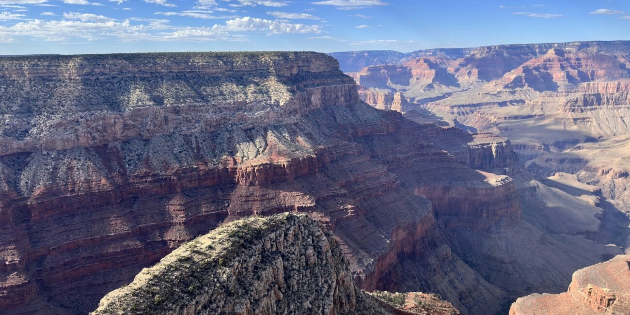
South Rim
Explore Desert View Drive, Grand Canyon Village and Hermit Road as the three connected districts of the South Rim.
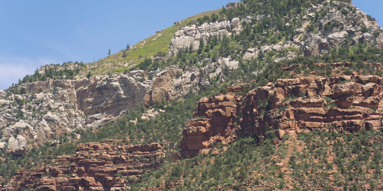
North Rim
Plan around North Rim Village, visitor facilities and Cape Royal Road, with seasonal access and longer driving distances in mind.
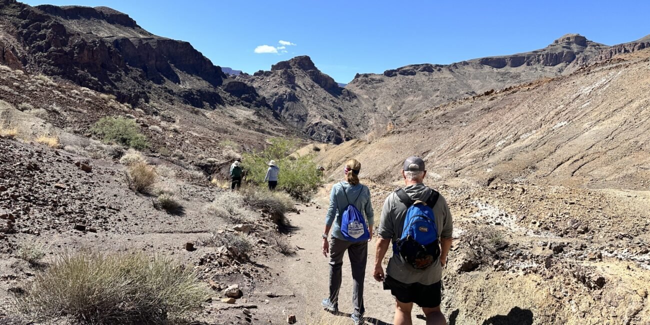
Inner Trails
Explore the major corridor and wilderness trails used for day hiking, backpacking and rim-to-rim travel.
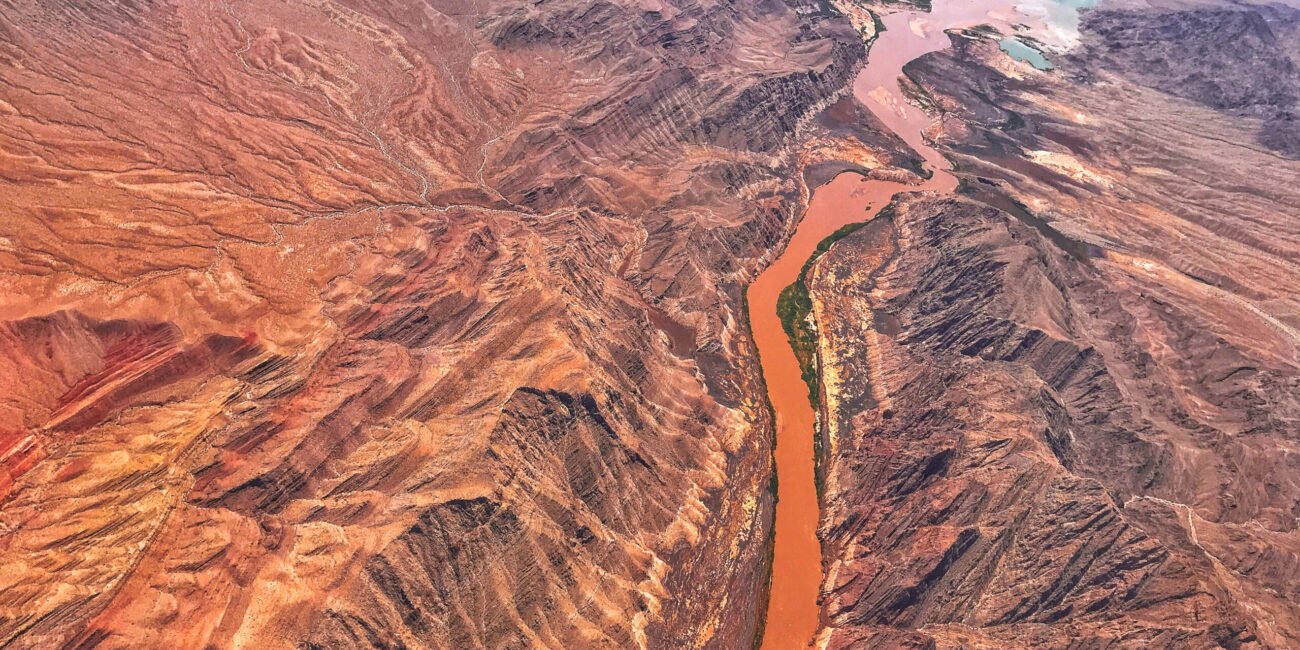
Colorado River
Understand the river corridor through its launch points, trip options, hiking exchanges and downstream take-outs.
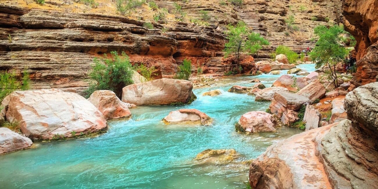
Havasupai
A separate destination on Havasupai Tribal lands with its own reservation system, access rules and visitor experience.
Grand Canyon West
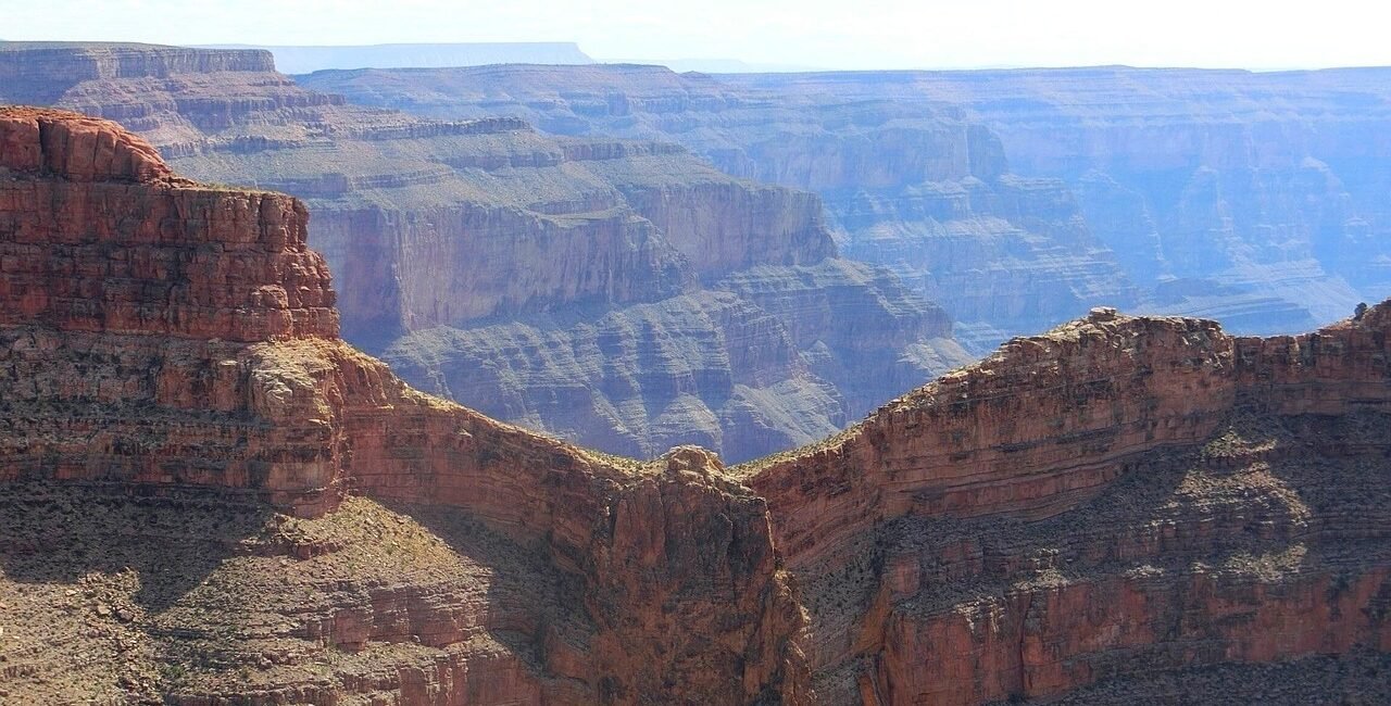
A Hualapai-operated destination with the Skywalk, Eagle Point, Guano Point and its own tickets and transportation.
Outside the Park
Compare Tusayan, Valle, Williams, Flagstaff, Cameron, Page, Jacob Lake and Kanab as lodging bases and road-trip destinations. Each community hub is organized to support future hotel bookings, dining guides, attraction listings and tour recommendations.